• Help Home
  • English (US)
    1. English (US)
    2. 简体中文
    3. 繁體中文
    4. Čeština
    5. Deutsch
    6. English (UK)
    7. Español
    8. Français
    9. Magyar
    10. Italiano
    11. 日本語
    12. 한국어
    13. Polski
    14. Português (Brasil)
    15. Русский
AutoCAD Map 3D 2025
    • What's New in AutoCAD Map 3D
      • What's New in AutoCAD Map 3D 2025 Toolset
      • What's New in Previous Releases
    • Use AutoCAD Map 3D
    • Customize AutoCAD Map 3D
    • Learn AutoCAD Map 3D
      • Getting Started
        • Learning Resources
        • Additional Training from Other Sources
        • Getting Started with AutoCAD Map 3D Toolset
          • Getting Started Videos
          • Overview of AutoCAD Map 3D Toolset Concepts
          • Overview of AutoCAD Map 3D Toolset Features
            • Create and Assign Geographic Coordinate Systems
            • Combine Geospatial Features and Drawing Objects
            • Create and Edit Features and Drawing Objects
            • Search and Filter Data
            • View and Edit Attribute Data
            • Use Metadata
            • Organize Data
            • Style Data
            • Theme and Analyze Data
            • Manage Data
            • Share and Publish Data
            • Customize Your Working Environment
            • Extend Functionality Using Open Source and API
            • Industry Model Drawings
          • Finding Information
          • AutoCAD Map 3D Toolset Sample Data and Templates
      • Tutorials
      • Learning Videos
      • Glossary
    • Enterprise Industry Models and Modules
    • Subscription Benefits
    • Installation
    • Release Notes
    Share
    • Email
    • Facebook
    • Twitter
    • LinkedIn


    Industry Model Drawings

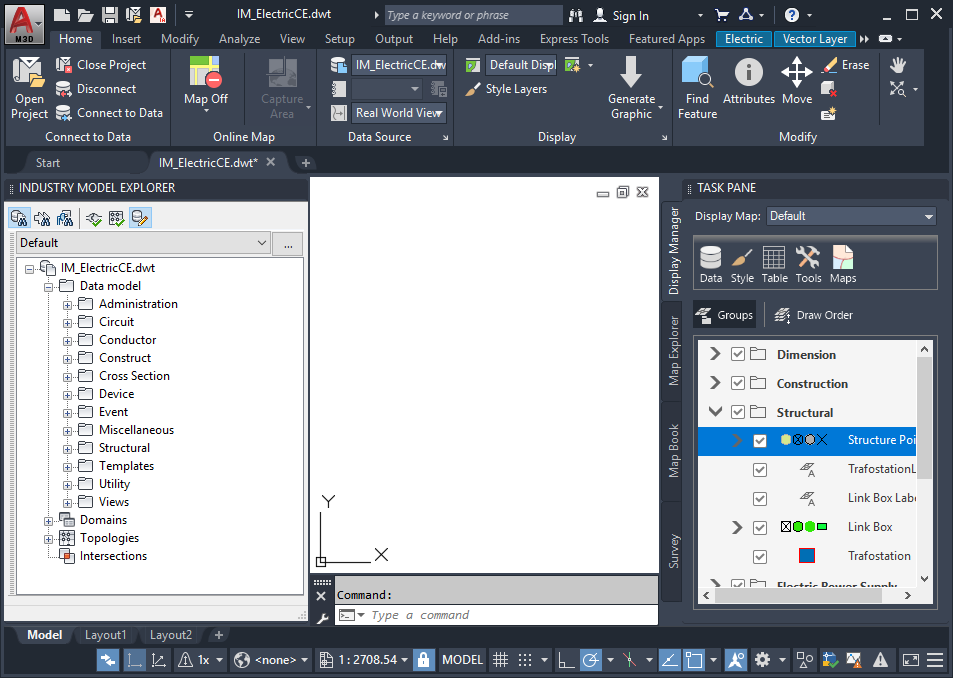
    An industry model drawing contains an industry data model. Use industry models to ensure that features you create follow rules and standards, similar to classified drawing data . Industry model drawings have access to advanced functionality, such as feature class forms, reports, and analysis tools. For more information, see About Industry Models.

    Parent topic: Overview of AutoCAD Map 3D Toolset Features

    Was this information helpful?

    Except where otherwise noted, this work is licensed under a Creative Commons Attribution-NonCommercial-ShareAlike 3.0 Unported License. Please see the Autodesk Creative Commons FAQ for more information.

    • Privacy Statement
    • Legal Notices & Trademarks
    • Report Noncompliance
    • © 2025 Autodesk Inc. All rights reserved