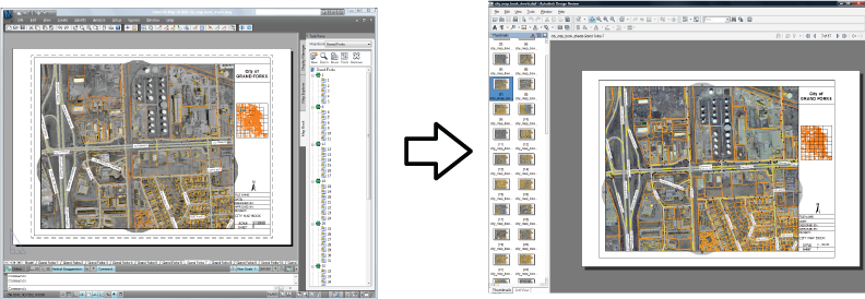
DWF (Design Web Format™) is an open, secure file format developed by Autodesk for sharing engineering design data. DWF files are highly compressed, so they are small and fast to transmit and view.

This illustration shows a map book published in DWF format.
DWF files are useful for the following:
- Publishing complex maps that use a variety of feature sources to a compact file that can be used in the field. All information from the original map, including stylization, is represented.
- Sharing maps with people who do not have a copy of AutoCAD Map 3D toolset. These people can download the free viewer to see the maps.
All layers and styles are published, with no loss of information. If you have joined data to layers in your map, the joined data is published. You can include graphical elements, including any draped raster files. You can include attribute data.
If your map has a coordinate system assigned to it, AutoCAD Map 3D toolset includes that coordinate system for each sheet in the published DWF file.