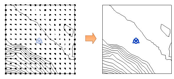
Export a points file from a civil engineering application, and import it to create a toposurface in the Revit model.
The points file provides contour data using a regularized grid of elevation points.
The imported points file must adhere to these requirements:
- The points file must be in a comma-delimited file format (a CSV or TXT file).
- The file must contain x, y, and z coordinate numbers as the first numeric values in the file.
- Any additional numeric information for a point must occur after the x, y, and z coordinate values.
Additional information in the file (such as a point name) is ignored. If the file contains 2 points with the same x and y coordinates, Revit uses the point with the largest z value.
Click to download sample points file.
To create a toposurface with a points file
- Open a 3D view or a site plan view.
- Click Massing & Site tab
 Model Site panel
 (Toposurface).
- Click Modify | Edit Surface tabTools panelCreate From Import drop-down
 (Specify Points File).
- In the Open dialog, navigate to the location of the points file.
- In the Format dialog, specify the units used to measure the points in the points file (for example, decimal feet or meters), and click OK.
Revit generates points and a toposurface from the coordinate information in the file.
Note: To improve system performance related to surfaces with a large number of points,
simplify the surface.