The Toposurface tool defines a topographical surface (a toposurface) using points or imported data. You can create toposurfaces in 3D views or site plans.
 Video: Create a Toposurface
Look at toposurfaces in a site plan view or a 3D view. When viewing a toposurface, consider the following:
- Visibility. You can control the visibility of topographic points. There are 2 topographic point subcategories: Boundary and Interior. Revit classifies points automatically.
- Triangulation edges. Triangulation edges for toposurfaces are turned off by default. You can turn them on by selecting them from the Model Categories/Topography category in the Visibility/Graphics dialog.
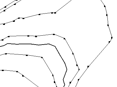
Sample topographical surface defined by picking points in a site plan view