In this exercise, you use Crop to remove areas of an image.
Crop preserves a selected area of a raster image and removes the rest of the image. Cropping an image permanently removes raster data outside the area you select and adjusts the size of the image frame to fit the cropped area.
Other methods of removing raster data have different effects:
- Remove commands erase raster data from an image without re-sizing the image. You can also use these commands to remove raster data that is not along the border of the image.
- Mask removes an area from view without deleting that area from the image. A mask can affect multiple images, and can be converted to an AutoCAD image clip for each image.
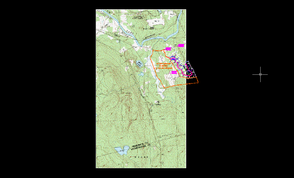
In this lesson, you crop the white border of a USGS quad sheet. This procedure can be useful if you want to merge the images of adjacent quad sheets.
Related Exercises
- Exercise A4: Saving Images
-
Exercise P11: Masking Images of Maps
Before doing this exercise, ensure that AutoCAD Raster Design toolset options are set as described in the exercise Exercise A1: Setting AutoCAD Raster Design Toolset Options.
Exercise
- In the \Tutorial5 folder, open the drawing file
Map_09.dwg.
Crop the white border from the image
- Click
Raster menu
 CropRectangular Region.
- Use Endpoint OSNAP to select the upper-left corner of the image for the first point.
- Press Enter to accept the default 0 rotation for the crop region.
- Select the lower-right corner of the map portion of the image for the second point.
AutoCAD Raster Design toolset automatically resizes the image frame to fit the cropped image. The raster data that you cropped is removed from the image.
- Close the drawing without saving changes.