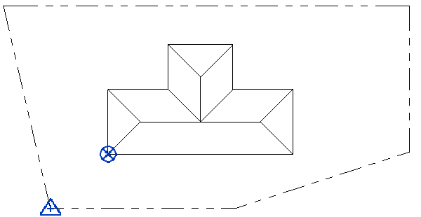
The survey point provides a real-world context for the Revit model.
It represents a known point in the physical world, such as a geodetic survey marker or the intersection of 2 property lines. The survey point is used to correctly orient the building geometry in another coordinate system, such as the coordinate system used in a civil engineering application.
In a
Revit model, the survey point defines a reference point for the survey coordinate system. In a view, it looks like this:
![]()

When you first create a Revit model, acquire the survey point coordinates from the civil engineer or another team member, or determine the coordinates of a known location. See Define the Survey Point.
After specifying the location of the survey point, you can move it later if needed. Depending on your intent, you may need to unclip it before moving it. See Move the Survey Point.
When working with the survey point, consider the following:
- By default, the survey point displays only in the site plan view. You can make it visible in other views as needed.
- You cannot delete the survey point.
- True North defines the Y axis of the survey point.
- To ensure that the survey point does not move inadvertently, you can pin it by selecting the point and clicking Modify tab
 Modify panel
 (Pin).
Pinning the survey point disables the Rotate True North tool.
- To report spot coordinates relative to the survey point, modify the Spot Coordinate type properties, changing the Coordinate Origin parameter to Survey Point.