
 After you have created a drawing topology, you can use it to analyze spatial relationships between the drawing objects. You can:
- Extract or create new information about a set of objects
- Determine the distribution of an object, or objects, over a network or area
- Manage relationships between objects
- Analyze the location, proximity, and orientation of objects
- Evaluate suitability and capability, estimate, predict, and interpret
- Identify conditions at a geographic location, in a spatial area, or along a linear network, and predict effects of future events on these items
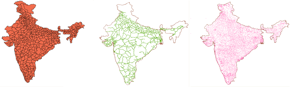
The three types of topologies: polygon, network, and point.
Different topologies can contain information on different aspects of a map. For example, a political map shows county lines or cities and towns. A geological map shows soil types or contour lines. A social map might show the locations of crimes or high-income areas.
Before you can analyze a topology, you must create the topology and make sure it is loaded.