Use this dialog to change the display properties for the selected GIS layer. Other parameters, such as the magnification range through which the layer is visible are set on the GIS Layer Control dialog.
This dialog is displayed from the GIS Layer Control dialog. Click the layer for which properties are to be displayed or edited and click the Properties button.
(Properties of Web Map Service (WMS) layers are displayed on the Web Map Service Properties dialog)

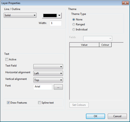
ArcEngine and ArcObjects Layer Properties dialog

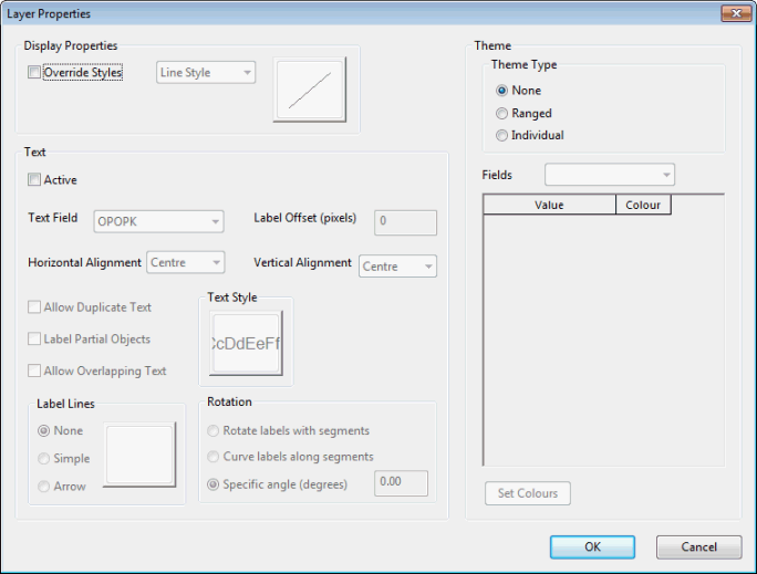
MapXtreme Layer Properties dialog
The following properties of the display for each layer can be changed:
ArcEngine and ArcObjects
|
Fill Line/Outline Marker |
The properties available for editing will depend on the type of objects in the layer. Colours, patterns, line widths, symbols and symbol sizes can be edited. |
||||||
|
Text |
Text associated with layer objects can be displayed by checking the Active box. Edit the text appearance using the drop down boxes. Check the Draw Features box to make layer objects visible. Check the Spline text box to display text at the orientation saved in the layer file (text will displayed horizontally if this box is unchecked). |
||||||
|
Theme |
There are three options for displaying a Theme:
|
MapXtreme
|
Display Properties |
Use to define how the objects in the layer are drawn. |
||||||
|
Text |
Text associated with layer objects can be displayed by checking the Active box. Edit the text appearance using the drop down boxes. It is possible to add label lines or arrows (Label lines section and to rotate labels (Rotation section). |
||||||
|
Theme |
There are three options for displaying a Theme:
|
