
The Headlines page in the Administrator displays an overview map of all baselines in the database.
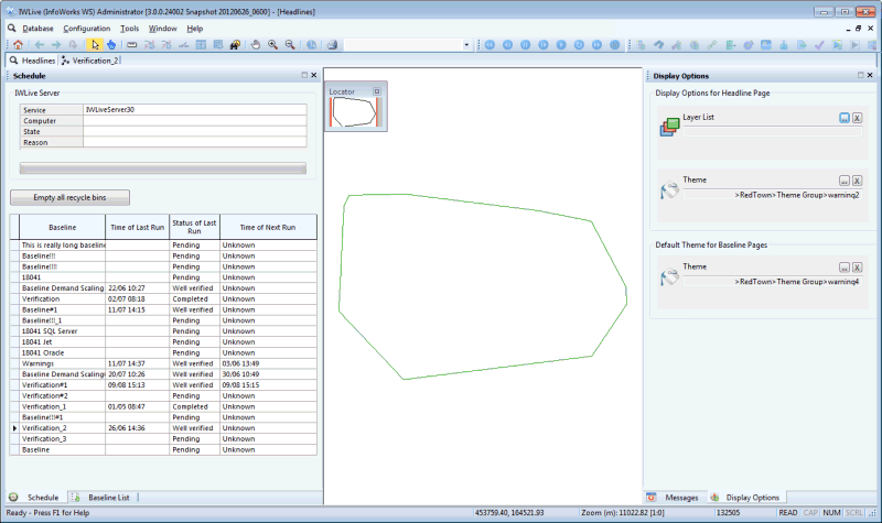
The Map view displays a polygon for each baseline either generated from the network extents or user-defined. Each polygon is coloured according to whether the associated baseline is enabled or not:
- Enabled baseline polygons have a black outline with a white fill
- Disabled baseline polygons have a grey outline and grey fill
In the map view:
- Click an area in the map view using the
 tool to select the object. Hold down the
Ctrl key to select multiple areas.
tool to select the object. Hold down the
Ctrl key to select multiple areas.
- Click an area using the
 tool to display the property sheet for an object.
- Click an area using the
 tool to display the Baseline view for the baseline associated with the polygon. If more than one baseline is associated with the polygon, a Multiple Selection dialog will be displayed listing all of the associated baselines; select the baseline to be displayed and click the
OK button.
tool to display the Baseline view for the baseline associated with the polygon. If more than one baseline is associated with the polygon, a Multiple Selection dialog will be displayed listing all of the associated baselines; select the baseline to be displayed and click the
OK button.
- Right click the map to display a context menu containing options to control the map display.
See the Map view section for further details on using the map view.
There are a number of windows displayed in the Headlines Page. Please refer to the Tour of the Workspace - Administrator for further details and links related to these windows.