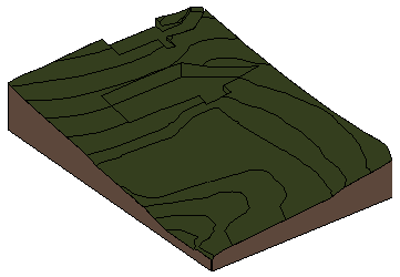
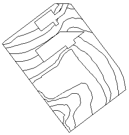
To represent the topography of the site, create a toposurface in the
Revit model.
Site tabModel Site panel
(Toposurface)
(Subregion)
(Split Surface)
(Merge Surfaces)
(Graded Region)
Topics in this section
About Toposurfaces
The Toposurface tool defines a topographical surface (a toposurface) using points or imported data. You can create toposurfaces in 3D views or site plans.
Create a Toposurface with a Points File
Export a points file from a civil engineering application, and import it to create a toposurface in the Revit LT model.
Simplify a Toposurface
Each point in a toposurface creates triangulated geometry, which adds to the computational overhead. When a toposurface is created using a large number of points, you can simplify the surface to improve system performance. When a toposurface is simplified, the accuracy and geometry of the contours may be affected depending on the specific conditions of the toposurface. After a toposurface has been simplified, verify the contours and geometry. Add points for accuracy if needed.
Create a Toposurface Subregion
A subregion defines an area of the toposurface where you can apply a different set of properties, such as material.
Split a Toposurface
You can split a toposurface into 2 distinct surfaces and then edit those surfaces independently.
Merge Toposurfaces
You can merge 2 separate toposurfaces into one surface.
Create a Graded Region
Grade areas of the toposurface, changing elevations at selected points, to develop the proposed site design.