The GeoPlan Window displays a geographical representation of areas of interest / polygons and can be displayed over the top of additional GIS map layers.
Some of the GeoPlan Window functionality is provided by a third party GIS object. ICMLive Operator Client currently supports and ArcGIS Engine, ArcGIS Desktop and ArcGIS Maps (tech preview) from ESRI. These allow background maps and additional layers to be displayed in MapXtreme or ESRI format.
See the Changing the current Map Control topic for further information.
Overview Page GeoPlan Window
The Overview Page GeoPlan window displays a view with polygons representing areas of interest (AOI) within InfoWorks networks. These polygons will have been defined in InfoWorks ICM Ultimate or ICMLive Configuration Manager in a selection list, which is part of the Manifest database object. If no selection list has been specified then the default polygon automatically generated from network extents will be used.
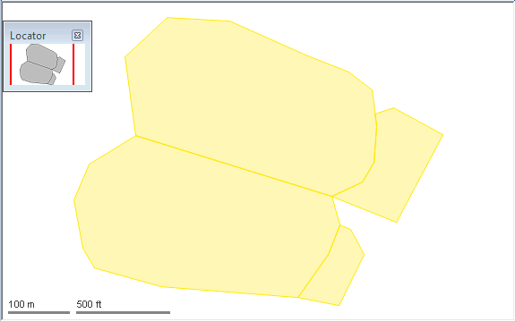
The map displays a polygon for each area of interest generated from network extents.
Click a polygon using the
Open associated item
 tool to display the Network View for the area of interest associated with the polygon.
Network Page GeoPlan Window
The Network Page GeoPlan window displays a detailed map of the network objects belonging to an individual area of interest. All network objects are displayed in the GeoPlan Window.
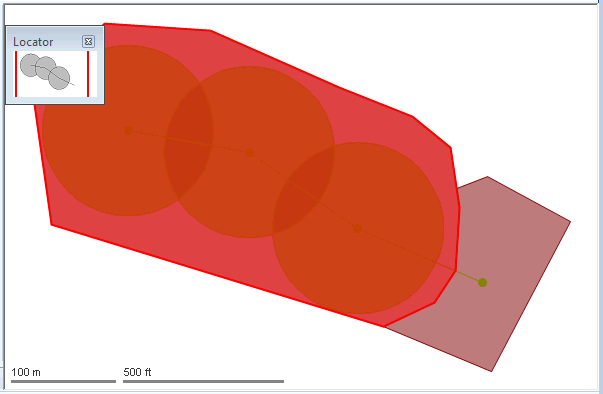
Click an object in the map view to select the object. Hold the CTRL key to select multiple objects.