
Use this dialog box to select a coordinate system for an image.
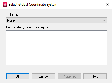
- Category
-
Specifies the type of coordinate system used in the image. Select the nation, state, UTM datum, Lat/Long, or other suitable category.
- Coordinate Systems In Category
-
Specifies the available coordinate systems in the category.
- Properties
-
Click to see detailed properties of the selected coordinate system and its projection.