
Use this dialog box to select a GeoTIFF coordinate system for an exported image, or to specify no coordinate system.
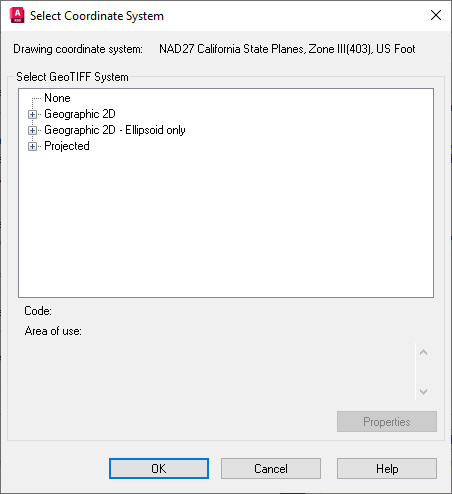
- Drawing Coordinate System
-
Specifies the coordinate system used in the drawing that references the image.
- Select GeoTIFF System
-
Specifies the available GeoTIFF coordinate systems in three categories:
- None. Click to specify no coordinate system.
- Geographic. Click to see the complete list of geographic coordinate systems.
- Projected. Click to see the complete list of projected coordinate systems.
- Code
-
Specifies the GeoTIFF code for the selected coordinate system.
- Area Of Use
-
Specifies the region of the world where the selected coordinate system is used.