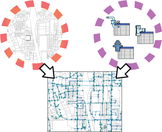
AutoCAD Map 3D toolset works on two types of objects: features and drawing objects.
- Features are GIS objects stored in external files and databases. Display and edit them in your map and then save the changes back to the original source. Use the options described in Working with Features.
- Drawing objects are AutoCAD objects stored within a map or retrieved from attached drawings using queries. Save changes to drawing objects in the current map or back to the attached source drawing depending on the source of each object.

AutoCAD Map 3D toolset works with both DWG objects and GIS features.
Use both AutoCAD Map 3D toolset and AutoCAD to edit features and drawing objects. Many AutoCAD commands work on both types of objects. Some AutoCAD commands can only be performed on a feature after you extract its geometry and edit it as a drawing object. You can then save your changes back to the original data store with no loss of precision.
Many AutoCAD Map 3D toolset Help topics are specific to one type of object or the other.
Topics that are for DWG objects are marked with this icon: 
Topics that relate to GIS features have this icon: 