Importing AGS Data Formats into the Geotechnical Modeler
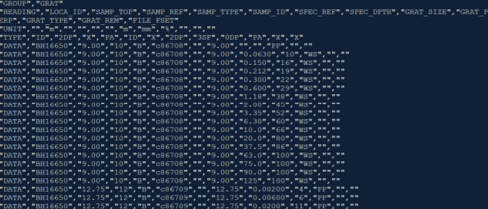
The AGS format is an industry format created and supported by organizations in the subsurface and site investigation industry. This standardized format provides workflows to transfer subsurface investigation, laboratory testing, and monitoring data between a diverse array of software used in the industry. To learn more about the AGS format visit: ags.org.uk.

- To add data to the Geotechnical Modeler database you must first create a project. From the Ribbon select Manage Data to open the Manage Data dialog box.
- From the Project drop-down at the top of the dialog box, select + Add New Project.
- Provide the desired project details (name, number, or identification).
- If a coordinate system is currently being used on the project, you should set the drawing coordinate system prior to importing borehole data. The tool will automatically apply a transformation if the coordinate systems require that.
- Next select the Import Borehole Data From File button near the top of the dialog box.
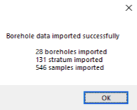
- Select the AGS data file to connect to the project database. A dialog box will alert you that the “borehole data was imported successfully”.
Note: This dialog box will also provide you with information regarding the
number of boreholes, and the number of stratus layers, and number of samples
imported:

