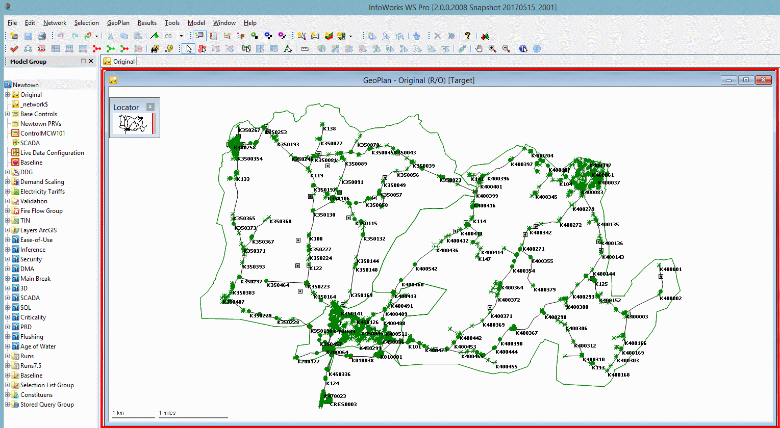
The GeoPlan view is used to display a geographical representation of the network and allows the display of additional layers or map information.
The view is displayed when a network is opened (either by right-clicking the network in the Model Group window and selecting Open from the context menu, or by dragging the network icon into the map window).
The size of the window containing the GeoPlan view can be adjusted by dragging on the edges or by maximising the window.

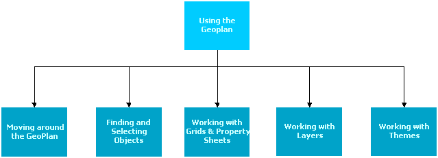
This section of the tutorial covers some of the commonly used functionality available in the GeoPlan view.
Click the links below to reveal information about the related topics.
Working with Grids and Property Sheets
Working with background layers


