The GeoPlan view is used to display a geographical representation of the network. The view also allows the display of additional layers or map information, which can be used, for example, to see where the network elements are located in relation to physical features such as roads and buildings.
Adding background layers to the GeoPlan view
To add a map as an additional layer on the GeoPlan view:
- Drag the network onto the GeoPlan.
- Right-click anywhere in the GeoPlan window and select Layer control.
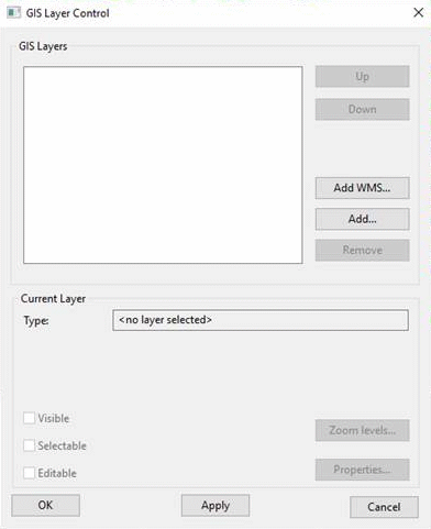
- The GIS Layer Control dialog is displayed.
This screenshot shows that there are currently no layers that have been added to the network. When some layers are added, their names appear in the white area.
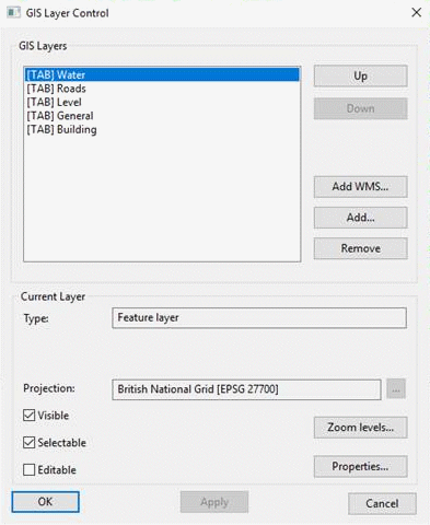
- Click the Add button, select all of the files in the Tutorial Files/Maps/ArcView directory from the Example Data Directory and click Open.
- The new layer(s) is/are added to the dialog.
-
If you are licensed to use more than one map control, you may want to change the current map control. For more details, see Selecting the map control in the main Help.
- Click
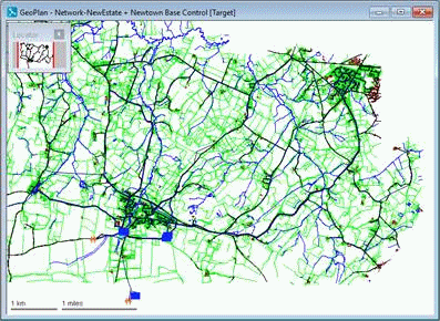
OK to close the GIS Layer Control dialog. The GeoPlan is redrawn with detailed maps behind the network. These maps allow you to see where the network elements are in relation to features such as roads, buildings and rivers.
- You may add other layers, in which case the order of layers is as shown in the GIS Layer Control dialog and can be changed.
Making a layer invisible
To make any background map or layer invisible, right-click anywhere on the GeoPlan and select Layer control. Select the layer in the GIS Layers box and clear the Visible box. Click Apply. You can make the layer visible again by ticking the Visible box.
Removing a background layer
To remove any background map or layer, right-click anywhere on the GeoPlan and select Layer control. In the Layer Control dialog, select the layer and click the Remove button. Click Apply or OK. If you subsequently want to view the layer, you can add it again to this dialog (but see the next section).
Saving a list of layers for future use
Save the layers for future use:
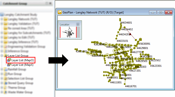
- Right-click
Layer List Group in the Model Group window and select
New | Layer List. If there is no layer list group, right-click the top icon in the Model Group window, and choose
New | Layer list group.
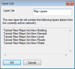
- In the Layer List dialog, type a relevant name for the list and click OK.
- Later, if you have removed one or more of the layers from the GeoPlan, you can restore them all by opening this layer list or dragging it onto the GeoPlan.
 Back to flowchart