
This dialog is used to:
- Set the projected coordinate system for the GeoPlan. It is displayed when you click
 in the
Select Coordinate System dialog. See
Selecting the Coordinate System for details.
Note: Although the coordinate system list for a MapXtreme map control includes 'Longitude and Latitude' options, these are geographic not projected coordinate systems and therefore should not be selected for use in InfoAsset Manager.
in the
Select Coordinate System dialog. See
Selecting the Coordinate System for details.
Note: Although the coordinate system list for a MapXtreme map control includes 'Longitude and Latitude' options, these are geographic not projected coordinate systems and therefore should not be selected for use in InfoAsset Manager. - Change the coordinate system for a shape file layer. It is displayed when you click
in the
GIS Layer Control dialog, and lets you change the coordinate system for a MapXtreme shape file. See below for details.
Note: If
ArcGIS Maps (Tech Preview) is the current map control, coordinate systems for shapefile GIS Layers need to bet set before adding those layers.
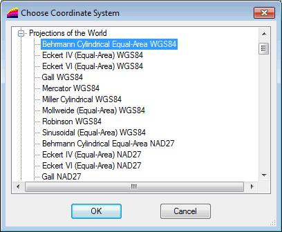
Choose Coordinate System Dialog for MapXtreme
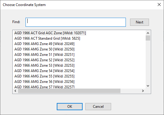
Choose Coordinate System Dialog for ArcGIS Maps
Change the projection system for a MapXtreme shape file layer
- Select the layer of interest in the GIS Layer Control dialog.
- Click
located adjacent to the Projection box. The Choose Coordinate System dialog is displayed.
- Select the desired projection system and click OK.
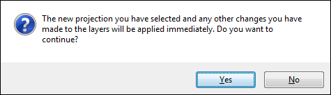
- The following warning message may be displayed to let you know that changes will be applied immediately :
- Click Yes to continue. The new selected coordinate system is applied to the layer and appears in the Projection box.
- Or click No to abort and close the dialog. The projection system has not been changed for the layer.
Choose Coordinate System for ArcGIS Maps
The Choose Coordinate System dialog for ArcGIS Maps includes a list of projected coordinate system compatible with InfoWorks software and ArcGIS.
- Use the Find field to find a coordinate system in the list.
Specifying all or part of the coordinate system you want to find into this field highlights the first instance of it in the list.
Clicking Next scrolls to the next instance of it in the list.
When the required coordinate system is highlighted in the list:
- Click OK.